One Swedish Summer
  • My Blog
    • About Me
My Gronabandet Summer 2013

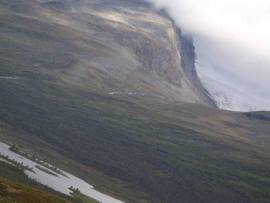
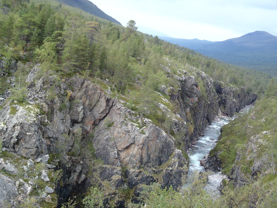
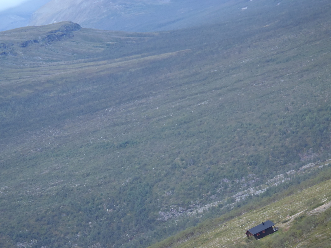
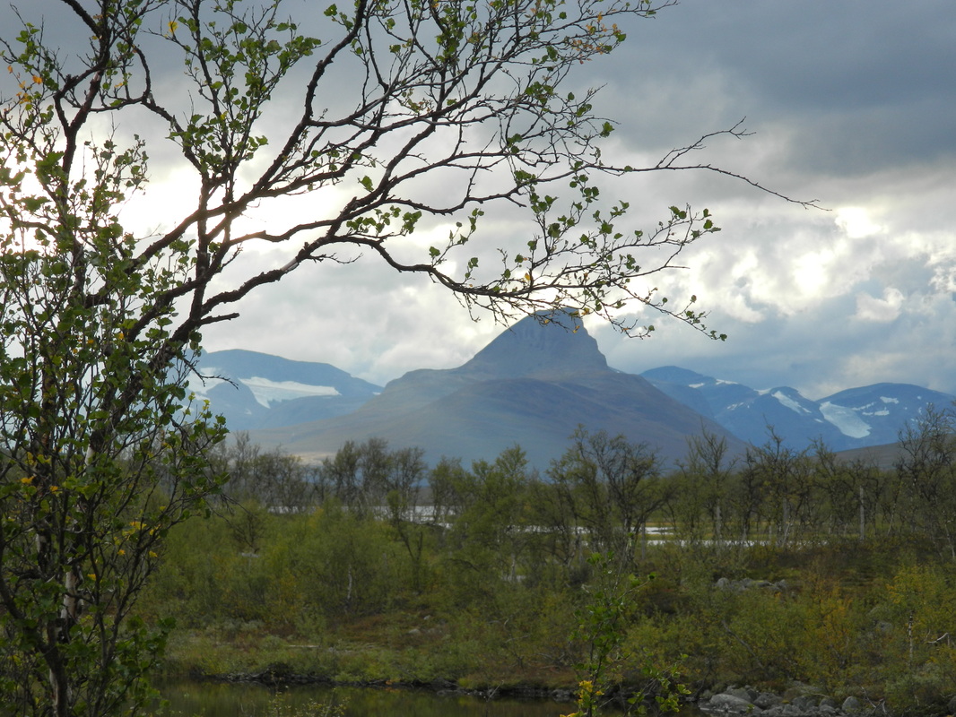
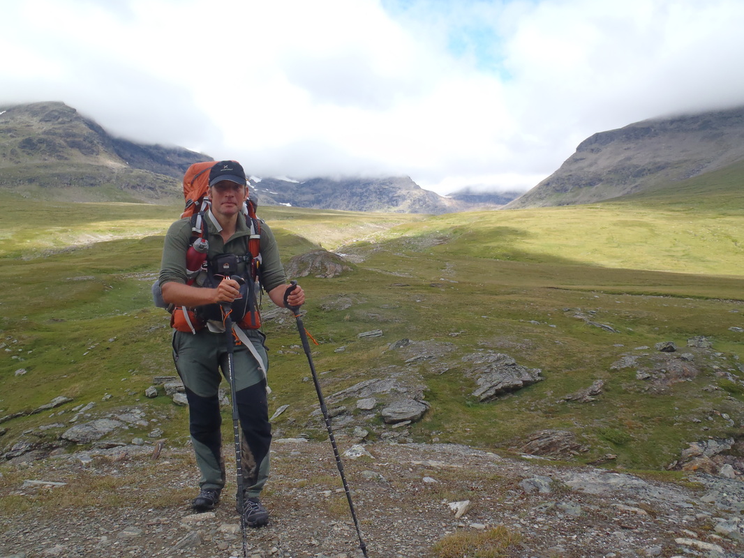
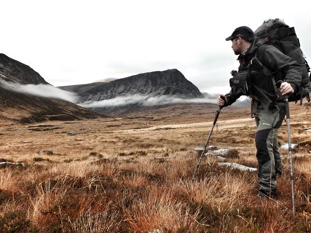
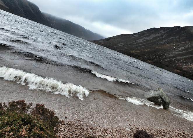
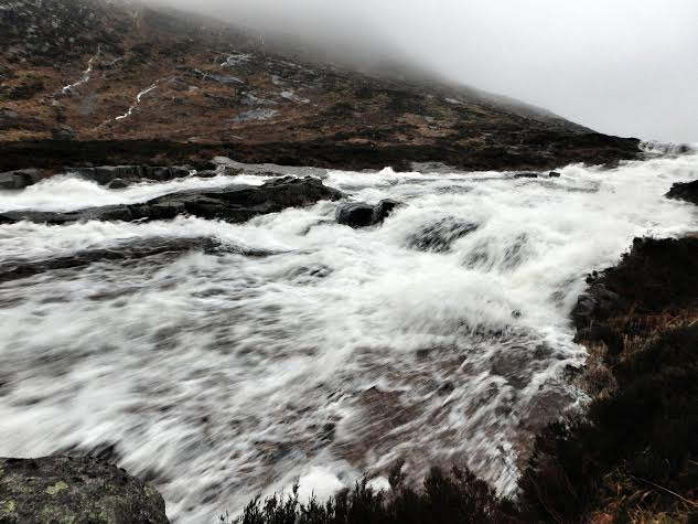
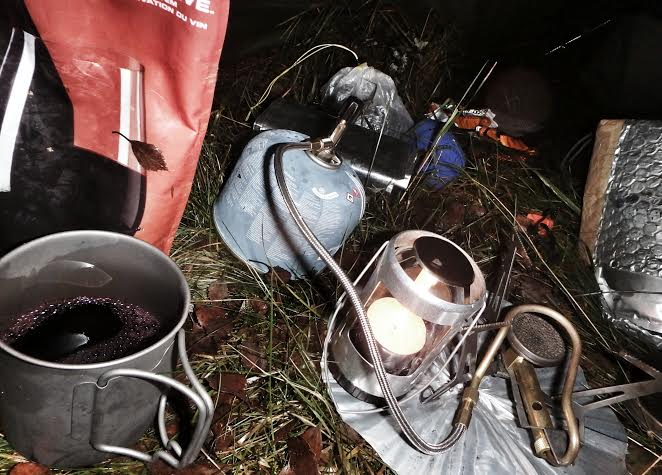
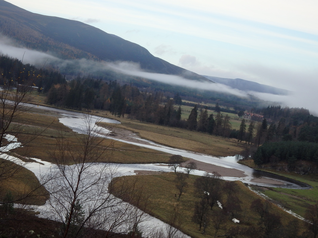
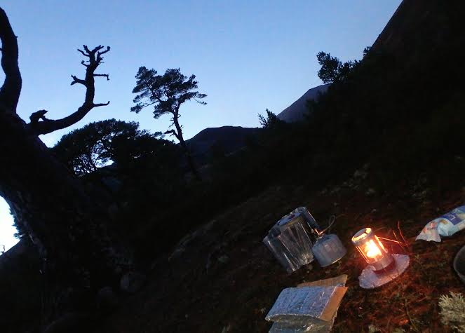
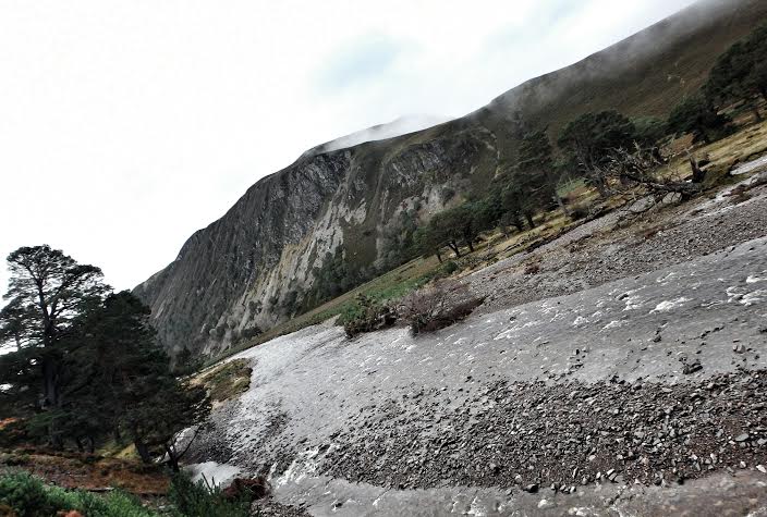
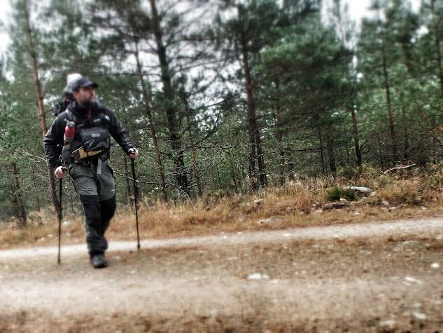
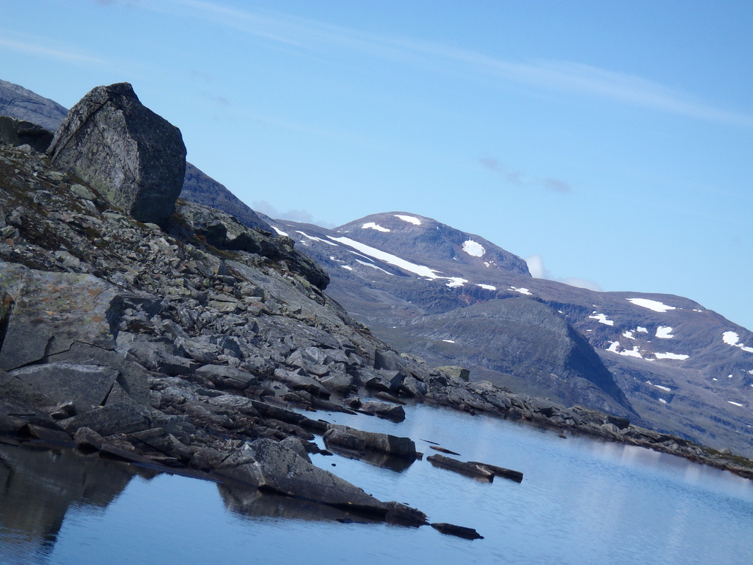
Wilderness Walking In Northern Places

'there is nothing like a wilderness journey for rekindling the fires of life. Simplicity is part of it. Transportation reduced to leg - or arm - power, eating irons to one spoon. Such simplicity, together with sweat and silence, amplify the rhythms of any long journey, especially through unknown, untattered territory. And in the end such a journey can restore an understanding of how insignificant you are - and thereby set you free' (Colin Fletcher)
Picture

Days 52 - 60. Troms To Finland. The End Of My Swedish Summer

23/11/2014

6 Comments

 
Picture
I'm mindful that I completed this walk well over fourteen month's ago but still haven't finished my blog about it. It's already involved around 50 plus posts but I'm keen to finish what I started. It's an opportunity too to reflect a little on what the walk meant and indeed increasingly means with the passing of time. It's still an event in my life I look back with fondness, one that I would undoubtedly like to repeat (but it's difficult to see the opportunity in a normal life of work and family). There's a resonance too about it that's still present in my everyday. It was a very positive time and I carry something from it still.

I'll make two starting points. Firstly, the shortened account of my walk can be found here with an article I wrote for TGO magazine's 'Backpacking Special' (see here). Secondly, this part of my 'Grona Bandet' is known as a 'stand alone' walk. It's the excellent 'Troms Border Trail' as described by Cicerone in their 'Walking in Norway' guidebook (see here). As an introduction to trail walking in Scandinavia it's a fine example and I can really recommend especially as I've now done it twice. (More here and here).

My tale picks up again on the morning of Day 52. I'm camped a little off the Nordkalotleden and a few hundred meters above Innset, a small Norwegian settlement which is remarkable as the start of the 'Troms Border Trail' ('the TBT') and the western end (with hydro works) of the giant lake Altevattnet, a long body of water that stretches for around forty kilometers deep into the sub-arctic wilderness. Despite those two appealing characteristics the place is fairly unremarkable. My morning sees me descend to Innset in light rain and then cross the head of the lake until I pick up the start of the TBT. I've passed this way before of course but there's a significant change. The DNT have now built a rather attractive hut and there's a man working on it (I later learn about the DNT's system of voluntary hut wardens, most retired people with a love of the hills who give up their time to keep Norway's mountain huts in first class order). I remark in Swedish that it's a good day for walking, he retorts in Norwegian that it's a better day for work!
Picture
The trail stretches along the shores of Altevattnet (picture below from 2008) before swinging north and to another DNT hut at Gaskashytta. I'm later to have a conversation with some one about using a boat to access the deep wilderness that it penetrates. My feet though remain on dry land and it's a steady climb as the TBT swings north east. I stop at Gaskashytta and have a quick look inside. All the Troms huts are neat and tidy and it's a tempting thought to stop for the night already. But the enduring sense of a need to make progress endures and I move on.
Picture
The next section of the TBT is one that people often complain about. The trail heads higher, up into the mountains and passes through a broad valley that's littered with talus. It's high and exposed, the rock slightly wet I have to work hard and use my poles to stay upright. The mountains on either side provide adequate distraction though. Gai'si is littered with corries that spill water, reindeer watch me warily as I pass through. There's a real northern feel about the place and a nagging wind has me feeling cold for the first time since the Kungsleden.
Picture
I 'm keen to finish this section off and around about seven I begin to near Vuomayhytta. This hut (or huts really) lies amidst a series of mountain tarns on a high plateau. I feel the exposure as I pitch the tent, diving inside and eating out of the biting wind. The huts are around a kilometer ahead and I spy another tent. I later learn its a Scot from Aberdeen, I'm sorry I never got the chance to speak to him. It's rare to see a fellow Briton in these hills and I would have been interested to hear his thoughts on them.
Picture
The wind is still raw next morning and there's a definite sense of seasons change in the air. I'm packed and away at 8.30 am on my fifty third morning of this walk. Passing the hut there's a few folk leaving and heading south. The TBT is a considerably quieter trail than it's southern counterpart the Kungsleden and people are keen to stop and chart. The other walkers are a couple of German men and we swap some trail tales. We both remark about how cold it is and I'm glad when the TBT descends down into a valley to follow the waters of Anjavaseleva.
Picture
This is what I like about the TBT. Now inside the Norwegian national park of Ovre Dividal there's considerable interest in the landscape. There's remarkable variety. High rocky mountains frame Anjavaselva, a fast mountain river that carves  deep canyons. The feel is more north american than Scandinavian for a while
Picture
A few hours later it's over another river at Diveielna. The map marks two small huts which are intriguing. My goal though for tonight is the hut at Dividalshytta. This lies above the treeline, my last hour of the walking day sees me loose the TBT in the thick forest. I pick it up at last and reach the huts.

When I arrive the huts are deserted. I let myself into the main hut with my DNT key and then proceed to get the stove going. I pass from tired and chilled to warm and comfortable in under an hour. Hot water from the top of the stove to wash and drink tea is an utter luxury. The hut itself, like all Norwegian huts is clean and comfortable. It feels absurd to be sitting on upholstered furnishings drinking tea in splendid isolation. However a little after seven a man in his seventies comes through the door and introduces himself, it's Bjorn.
Picture
Bjorn and I have a very companionable evening together. He, of course, understands my Swedish and I get a lot of his Norwegian. He explains he is here to do various odd jobs and we discuss the DNT voluntary hut warden role he undertakes for this hut. It's clear he's got a love of this hut and the surrounding area. We discuss at length Ovre Dividal and we pore over my map as he explains the locations of hidden huts and shelters hidden in the recesses of this wilderness. It's fascinating. I'm minded to make for one of the huts he describes which will see me venture off the TBT, I've enough time. We end up too having a running joke about me moving to Norway.
Picture
We bid farewell to each other next morning. I climb again, up into the hills. Looking back the hut is framed in the wilderness.

The day's walk towards Daerttahytta is resolutely Scandinavian. Classic high fells and signs of reindeer husbandry. The trail descends to cross Skaktardalen and this valley feels very far from anywhere. Towards five pm I see the huts at Daertta in the distance. I dismiss the temptation of another night inside and steer off the TBT. My plan is to use some of my extra time to head cross country to one of the huts Bjorn and I discussed.

I break for the night and I'm away next morning. Heading east I round the distinctive fell of Daerrta. The weather's much better today. Cloud and clag have given way to a brilliant day. I'm in good spirits as I round the lake at Rosta. To the east the Swedish border lies near, it's remarkable how the mountains give way to tundra.

My focus though is the small white hut at the end of the lake. It's an open hut belonging to the Norwegian state and it would make an attractive destination for the night.
Picture
Alas, when I get to it there's immediate evidence that the huts in occupation. Bait boxes and tackle on the porch. I go in, there's a very neat kitchen (the hut is brand new and well kitted out). On the table are piles of Finnish beer and Russian vodka, it looks like the occupants have been eating sashimi too with wasabi sauce in evidence (plenty of raw fish eaten on this trip I later learn). Next door there's a bunk room with four bunks. Three are clearly taken and I decide that to squeeze in would be too much.

But it's a fine day for camping so I head off, not without some regret. I pitch up on a well drained spot at around two and settle in to enjoy this fantastic location. A little later on a man in fishing gear wanders past, he's one of the hut's occupants. A very friendly Finn he tells me that he's part of a small party of three who have helicoptered in to fish the surrounding waters.
Picture
I enjoy a fine camp, my penultimate of the trip in fact. The thought enters my mind that in just a weeks time I'm likely to be back at my desk in London. I can't quite square that with where I am now.

I've my Grona Bandet to finish. Packing up I realise that I'm very near my ultimate goal of the border stone at Trerikroset. Today though I cross back into Sweden (through a corner of territory that is designated as a rocket testing area for the Swedish space programme).

I've left the TBT behind and instead it's the Nordkalotleden to the most northern Swedish STF hut at Paltsa. As I descend off the plateau the iconic mountain of Paltsa itself is clearly visible with it's high rocky peaks. The hut itself nestles in birch and I go and find the hut warden. He's a friendly Swede who speak excellent Finnish (useful as a number of his current guests are Finnish hunters and walkers). He's keen that I sign the long distance walkers book (I do so) and he invites me to help myself to any spare food in the 'left behind cupboard' (I do so again).

It's another fine evening so I leave the hut and find a pitch by the river. It's a grand final camp.
Picture
I've noticed over the last week or so a proper twilight from about ten onwards. It's been a whole summer of light but an arguable darkness later as I prepare for bed. is striking (when I get back home to Sussex a few days later the night sky is astonishing). A real sense of the end.
Picture
That's further enhanced the next morning, the final morning of this walk, as I emerge into a wet and cold day. The last warmth of summer gone and I'm in rain gear as I stop for one last chat with the hut warden before I head off on the easy few hours walk north to the tri-border area and the end of my summer.

It's a strange feeling as I cross my last section of high plateau. It's unremarkable really, wet and cold dominates as I begin my descent. And then, as I emerge down the hill side there it it. The large border stone that marks the point a which Finland, Norway and Sweden meet and, as the most northern point of Sweden, the end of my walk.
Picture
I approach the stone from the south and it's a fairly unremarkable and, indeed, ugly block of concrete. I cross though over the border into Finland and the view improves as you face north and walk down the pontoon to the stone itself; it feels a more fitting space to end my walk.
Picture
Hand on the stone and then I'm done. The end of almost two months of walking and nearly one thousand miles.

And so began the 'what next'! Immediately I had around forty eight hours before I had to be in Kilpisjarvi to catch the bus back into Norway from where a direct flight would get me back to Sussex in a giddy few hours. I welcomed that space, it would have been too much to have turned my back on the stone and head off.

With the space of a clear day I began to come to terms with the end of the walk. An end to it's anticipation, planning and execution. A process which really had taken a couple of years. That new 'journey' began in the quiet of the excellent free Finnish hut just a few hundred metres from the stone. I spent a quiet night there on my own, the quality of that hut was remarkable (see here).
Picture
I would have happily spent the next day there but the border stone is a day trip from Kilpisjarvi. A boat crosses the lake and from around ten the next morning people were milling around. I made myself scarce and walked the forty five minutes or so back into Norway where I spent the night at the DNT hut at Galda. Again, I had that hut to myself and made myself quite comfortable with the wood burner pumping out heat and providing plenty of hot water.
Picture
That final clear day gives me a little time to think about what the walk has meant to me. It's clear that I get a lot from doing this. Strip life down to the essence of walking, eating and sleeping in a wild context and I'm very happy. Flicking through a magazine pile in Galda I find a British sunday supplement, looking through it the features on fashion, restaurants and cars seem pretty alien. It all seems unnecessary.

But I certainly don't complain when I walk out the next morning to Kilpisjarvi and make my way to the hostel there. A hot shower, meal and quite a bit of beer is very nice. I get some texts and tweets congratulating me on my finish (thank you Roger Brown!), my completion was posted on the Vitagronabandet website a few days ago (they picked up my last Spot transmission from there) so there's a response to that. And then it's on the bus to Tromso and a direct flight to Gatwick which is only under an hour's drive home.

It's an odd sensation as the taxi drives off and I stand in my street outside my house. The night feels almost tropical after the chilly weather in Lapland. I've gone back from autumn to a sussex summer. I let myself in, shower quietly and then creep into the spare room. I'm woken next morning by my children peeking through the door and whispering loudly to each other about whether they should wake me. It's good to see them!
Picture
And then within three days I'm back at work! About a stone lighter (as much muscle as fat gone, I lost muscle on my upper body particularly) and having to come to terms with the end of it all. Ultimately, the physical changes disappear over time but the mental ones haven't. Doing something like this changes you, for the better I'd add! A recalibration perhaps, a focus on what's important. Enough food, fresh air and exercise. Perhaps more importantly the real liberty that extended time in the outdoors can bring.

Finally, I'd like to thank those who sponsored me kit particularly Heather of Pacepole (who I greatly enjoyed visiting this summer in the Lakes) and the Paramo team who still give me useful bits of kit and don't expect too much back in return (I enjoy our chats when I visit your office down the hill!). And finally thanks to those that read this blog. If you haven't been walking in Scandinavia just get out there. It's closer than you think!
Picture
6 Comments

In The Shelter Of Pine - Autumn Cairngorms

22/11/2014

6 Comments

 
Picture
I've a love of the Cairngorms, for my money the finest hills this island has. Originally drawn by the lure of the high hills and the 'significant ticks' on my Munro list, I soon discovered that as much of the range's character lay in it's low places as it's high. It's arguably, along with Affric, the last bastion of the great forest of Caledonia. Rothiemurchus and Inshriach are the jewels in that crown, but perhaps it's the remote glens of Quoich, Derry, Luibeg and especially Feshie, that echo a Scotland lost. Not one of empty moor and rock, but more of the distinct Scots pine set against mountain side, shelter in a landscape that often offers none and an abundance of native flaura and fauna amidst a riot of green that stands in contrast to the pervasive browns and yellow of much of the Highlands.

Today, that forest exist as 35 remnants (covering about 180 square kilometres (44,000 acres)) from the first pines to arrive in Scotland following the ice-age. It's no accident that they remain in far to reach places. To a great extent the remnants survive on land that was either too-steep, too-rocky, or too-remote to be agriculturally useful. And thank god there are still these places! These remnants have adapted genetically to different Scottish environments, and as such, are globally unique, forming  an unbroken, 9,000 year chain of natural evolution with a distinct variety of soils, vegetation, and animals. The Caledonian Pinewoods are home to some of the country's rarest wildlife and breeding bird species such as Capercaille or Crossbills are only found here and nowhere else in the British Isles.

This trip was suited to a tour of these glens. It's November after all and with the chance of unsettled weather and shorter daylight hours I was looking at an option for a backpack that would accommodate the possibility of bad weather. Such a forecast came to pass. Five days to play with and each one with an initial prognosis for heavy rain. So I settled on a route that would offer a 'grand tour' of Caledonian pine.

My first day saw me intent on a patch of pine in the 'greater Cairngorms'. I've come shamefully late to Lochnagar, this April in fact, but was at once entranced by it's hills. During those bright spring days I spied down in Loch Muick a patch of green that I decided merited exploration.
Picture
My walk began in Ballater. A dry but windy day saw road walking to the Spittal of Glen Muick. The loch itself was churning as I walked along a good track on it's eastern shores. One of those days when gusting wind is visible as it picks up water moisture in it's journey along the loch's surface. Certainly not a day to be camped in an exposed spot I thought so I hurried on (I later learned on Saturday that a Royal Marine died of exposure that night whilst out running in the neighbouring Angus glens, it was not a night to be out without adequate shelter).

My first forest pitch was not true 'old growth' Caledonian Pine, but near enough. Round the Loch on the estate path, through beech and birch on the shoreline, and then into the shelter of the forest at Glas-allt Shiel. In the center of tall pines stands a fine Victorian house belonging to HM Queen no less (apparently its the house Queen Victoria favoured immediately after the death of her consort Albert due to it's solitude), round the back perhaps one of the more curious bothies in the Highlands (see the excellent Cairngorm Wanderer here on the 'Royal Bothy')! But that wasn't my focus. I moved away from the house and into the center of the pine forest where I found one of the most accommodating pitches in the Highlands. Amidst giant pines the forest is carpeted with a neat lawn, like camping on a soft billiard table with my own stream to boot.

Picture
I was extremely glad of the forest's shelter that night. The wind tore through the forest, often changing direction as if at a whim. The trees around me rattled and groaned, at one point vibrations rip through the ground below me and I can only assume something heavy had tumbled down. With nightfall heavy rain too that abated only before dawn. Around 12 hours solid precipitation, engorging already swollen watercourses.

As I packed up the next morning the wind was still playing on the loch. A brief pause in the rain abated as I climbed up towards Dubh Loch and then over the cusp of Lochnagar itself and down to Loch Callater. It was a sodden day, one of the wettest I've had, but there was compensation. I was lucky the wind was behind me firstly, a difficult day could have been far worse. Secondly, the sight of raging water everywhere was mesmorising. Sheer anger in every exploding stream.
Picture
Loch Callater was reached around two and then it was a wet walk out with a pause to inspect the 'Stables'. Down towards Braemar on the road and I mused as a night in a bed and breakfast. But no, maintaining my theme I found shelter in a small forest outside Braemar. Not pine tonight but birch. Washed and in dry clothes, under the shelter of a 'kitchen tarp' (a habit I've acquired since Svalbard) I soon became very comfortable. The rain stopped at last and a hush descended. Food, wine, whisky and sleep. All in the glow of a hard day outdoors done.
Picture
Braemar of course offered the chance to restock a little and eat a proper breakfast. I stocked up on some extra wine and whisky as Marc and I from Trekkertent (see here) were planning to meet in Feshie on Sunday. Despite a bad forecast the day was surprisingly fair. Dry to start and then some breaks in the cloud even.

It's an easy walk from Braemar to Luibeg, but one that certainly takes you into some of the remotest country in the land. You run down the grain of forest too, handrailing the Dee from Braemar until it's over the north bank on the 'White Bridge' and through the Mar Estate. Right into the heart of the Cairngorms and one of it's finest glens. Derry was quiet, on a fine Saturday afternoon I would normally expect to see at least a few tents  scattered around Bob Scott's. Today though nothing, the whole glen to myself.
Picture
There's plenty of fine pitches in Derry's trees, I've a favoured one up-stream before the battalions of pine surrender to the high ground. Today though I wanted to steal a march on tomorrow so I headed to Luibeg.

Luibeg's an encouraging example of aforestation projects. When I first tumbled down the nose of Sron Riach, fresh from Macdui, this relatively small area was enclosed by fence with young saplings protected from grazing deer. They stood under the watchful eye of a number of mature pines that sit back from the banks of the burn. The fence is gone now, the adolescent pines clearly strong enough to resist the attention of deer. I crept through them to another favourite spot, under the shelter of an old pine I pitched up as darkness fell.

As dusk fell I paused and looked up. Macdui flared red as the sun began to dip below the horizon. Quite the show. With clear skies too falling temperatures but the compensation of stars. A sky framed by the finger of pine. An old kip mat provided a comfortable seat. I lit a candle, made some tea and simply sat.
Picture
With darkness falling at 4.30 pm the nights are long, but certainly not oppressive. Most nights I crawled into my sleeping bag at eight and it was never long before I was asleep. An echo perhaps of a more natural pace of life. Despite almost eleven hours sleep it was still hard to get up next morning but I was conscious of the need to make it to the finest glen of all, Feshie.

With a forecast of rain I decided to meander on the low route via the White Bridge to Feshie. An unremarkable day's walking really but one that was filled with anticipation. Firstly, I was greatly looking forward to a night camped in Feshie, it's a vision of paradise lost almost. In the cleft of hills the glen is shrouded in old growth. Get the right pitch and you can simply lie in your sleeping bags admiring waterfalls tumble down steep hill-sides.

I was expecting to meet Marc too. Sadly that didnt come to pass. I arrived at 3.30 pm, hollered a few times but nothing. Next day we exchanged texts. Crossed wires as he was only up for the day and I thought we were camping together. We conspire to miss each other. A great shame, he had the Edge 1 and 2 (person) to show me as well as a four season Edge. Not only that but plenty of red wine too. (Mark's updated me as to his continuing designing of the Edge, see here for pictures).

But Feshie to myself is always a very good thing. Darkness came again, some time under the tarp and then bed in the Scarp.
Picture
The next day of course was 'walk out' day. Another poor forecast saw me discount the high route back to Aviemore. Instead, down out of the glen and curving Sron na Lairig it's into Inshriach. It's a route that reminds me so much of Scandinavia, Jamtland particularly. Into the cultivated forest there's burst of marshland that remind me of those long days through Jamtland on my Grona Bandet summer. And then the crowning glory of the day, Rothiemurchus (see here)

I emerge into Aviemore a little before dark. A favourite place of mine where I begin a well honed routine of pub, curry and train home. A little time to reflect on the walk as I sit and drink a pint of Stag in the Cairngorm hotel. The Cairngorms really are the complete package I muse, there's interest and all levels. Arguably distinct in the whole of Scotland with it's low places as striking as it's high. So if you come to Scotland looking for mountain granduer stop sometime. Look down from your peak and you may see something else, a patch of distinct green. One of the 35 'remnants' perhaps. There's opportunity here for a walk to link all of them together or collect them over time. I chew that delicious thought as I sit contemplating another pint of beer.

A little more on the Caledonian Pine and aforestation work here with Trees for Life.
Picture
6 Comments

TrampLite's Trek - Pieskahuare To Hemavan

9/11/2014

0 Comments

 
Picture
Its been great to read Colin Ibbotsons' account of his five week walk in Scandinavia. Part of it included my route from Pieskhaure down to Vindelkrokken. Some great pictures and observations from a master hiker. Worth a read (here).
0 Comments

Day 51 - Lappjordhytten To Innset - Reflection

5/11/2014

2 Comments

 
Picture
Second night running in a bed, something I hadn't experienced since Hemavan at the half way point on my walk and several weeks ago at the front end of August. Unlike yesterday morning I awake to the calm of an entire DNT hut to myself, I delight in it. I jump up at half six and get the stove going in the living room before I crawl back into bed to steal another 30 minutes.

I revel in Lappjordhytten as I make breakfast and make sure the place is as tidy as I found it. The night before I've also made sure that I filled my details in the hut book, I cant pay the fee though as there's no payment slips for credit cards. That has to wait several days until I reach my second DNT hut of the trip. I flick through the pages of the book and see my name in it from 2008.

It's hard to leave though and after extinguishing the stove and cleaning out the embers I pick up the pack and leave with some reluctance. There's a climb at first, up to Ganesbakti over several miles. It gives me the opportunity to look back at the hut before it disappears from  view.
Picture
I enjoy the novelty of following the DNT 'T' trail blazes marked on rocks. The trail's fairly clear. Sweden doesn't feel too far away as Lapporten still dominates. The sun shines off the roof of Abisko with all it's hustle and bustle of the Kungsleden. This trail's quiet and once again I've a big empty landscape to myself.

The fells certainly feel Norwegian. There's a shape and ruggedness to them which is striking. I know there's better to come once I enter Ovre Dividal but I enjoy it nonetheless. Before long the sami winter village appears to my left, all quiet. Then the trail begins it's long slow descent that will eventually wind it's way out of the hills and for the brief interlude of the village of Innset before the grand finale of my last weeks or so through the grandeur of Troms and the the end of my summer at Treriksroset.

It's hard to shake off the sense of the beginning of the end. I'm in a relaxed yet reflective mood as I find a pitch for the night. I've time to play with now and I enjoy a 4.30 finish. I find a high n' drained bank by the jokk that tumbles down from Salvasvagge and into the vast lake of Altevattnet below.
Picture
2 Comments

    Archives

    July 2017
    June 2017
    April 2017
    March 2017
    December 2016
    November 2016
    October 2016
    August 2016
    July 2016
    June 2016
    April 2016
    December 2015
    November 2015
    August 2015
    July 2015
    June 2015
    March 2015
    January 2015
    December 2014
    November 2014
    October 2014
    September 2014
    August 2014
    July 2014
    June 2014
    May 2014
    April 2014
    March 2014
    February 2014
    January 2014
    December 2013
    November 2013
    October 2013
    September 2013
    August 2013
    July 2013
    June 2013
    May 2013
    April 2013
    March 2013
    February 2013
    January 2013
    December 2012
    November 2012
    October 2012

Proudly powered by Weebly
  • My Blog
    • About Me