One Swedish Summer
  • My Blog
    • About Me
My Gronabandet Summer 2013

Wilderness Walking In Northern Places

'there is nothing like a wilderness journey for rekindling the fires of life. Simplicity is part of it. Transportation reduced to leg - or arm - power, eating irons to one spoon. Such simplicity, together with sweat and silence, amplify the rhythms of any long journey, especially through unknown, untattered territory. And in the end such a journey can restore an understanding of how insignificant you are - and thereby set you free' (Colin Fletcher)
Picture

Hiking Sarek (An Englishman's Guide)

2/2/2014

 
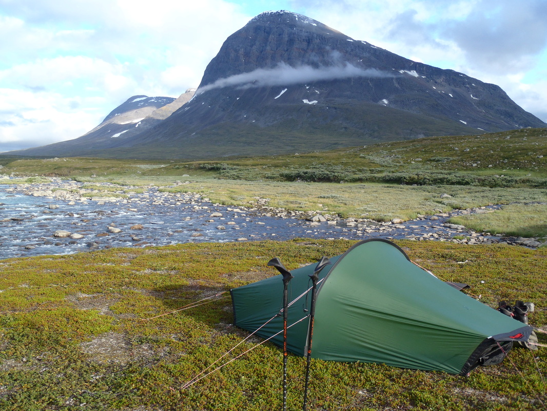
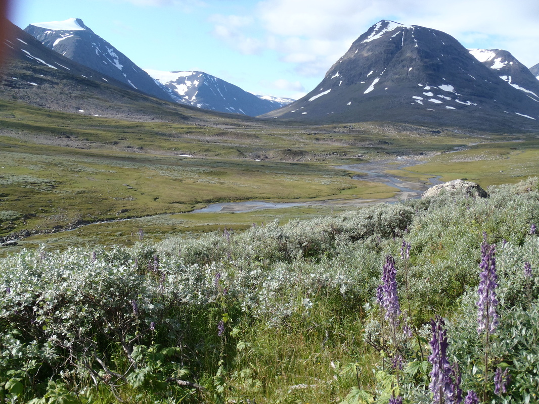
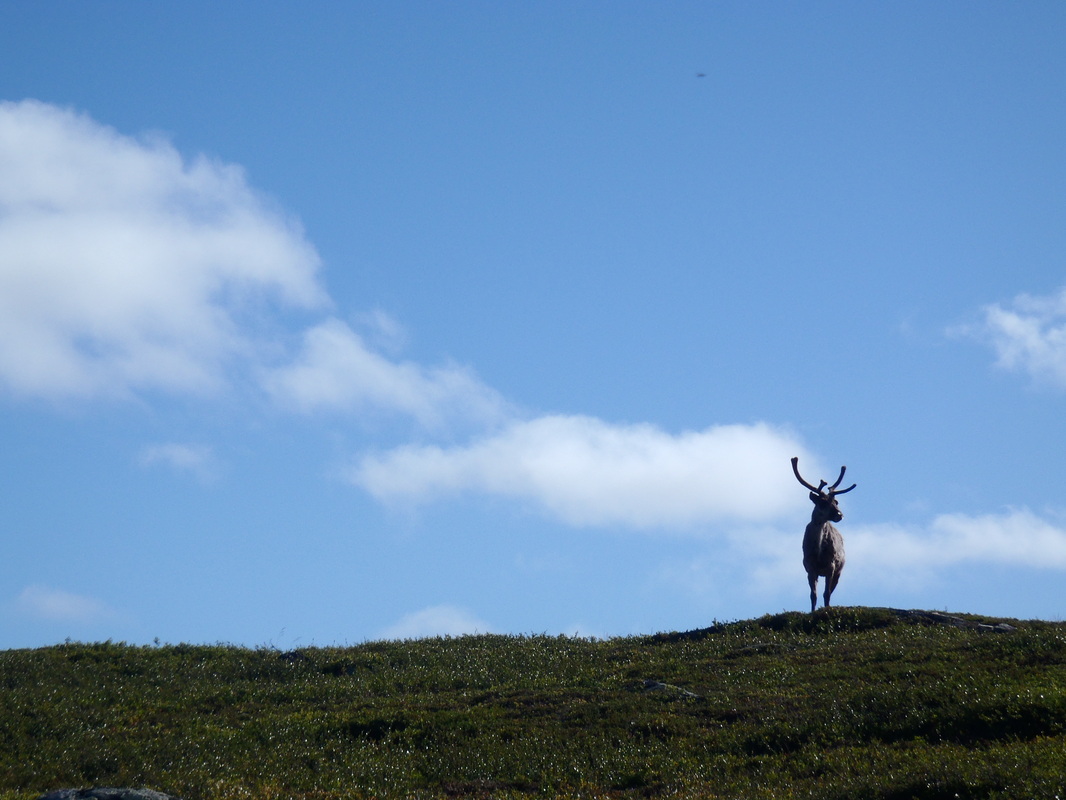
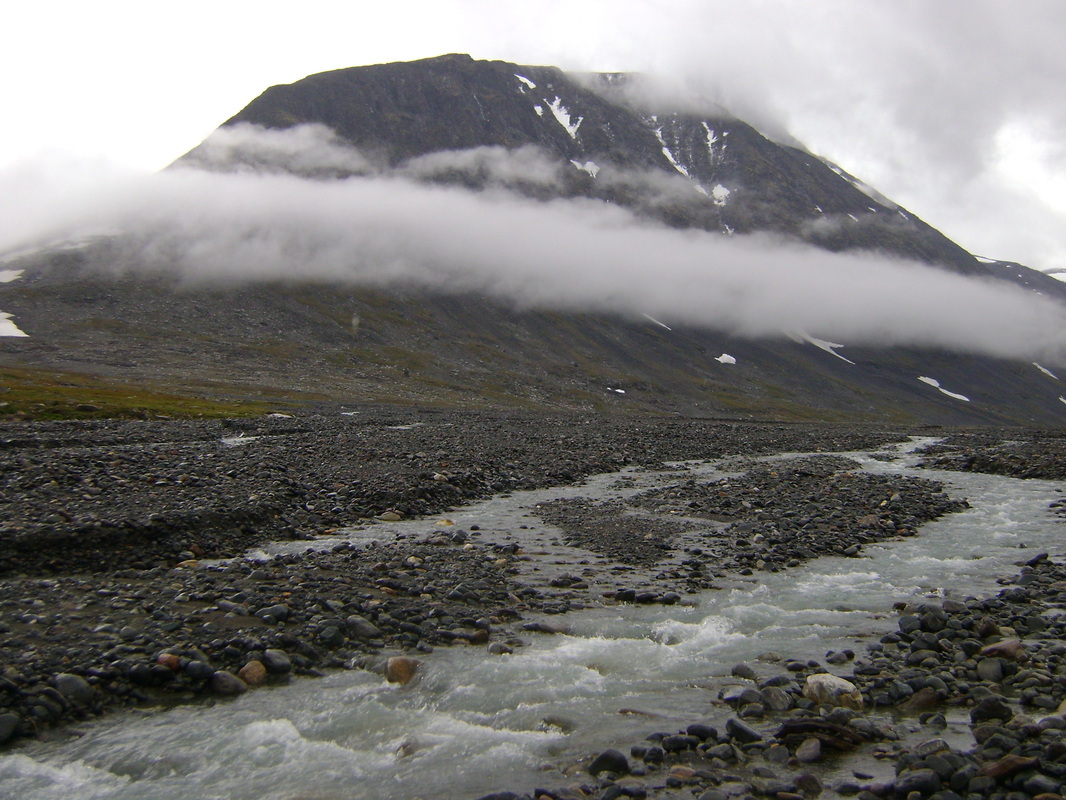
Sweden's mountains ('fjallen') rise from the deep boreal forests of Dalarna and run without pause for a 1000 miles to the lonely northern border stone of Treriksroset. For the main it's unblemished wilderness though man's presence is marked, not least as these mountains are the home and work place of the Sami. There is arguably a center piece in this array of riches. For many one place that perhaps stands a little taller (with the greatest concentration of peaks over 2000 metres), a little more demanding (no real huts or refuges and a commitment of a week to cross) and a little harder to move through (no marked trails, glacial moraine and the toil of the Rapa Valley). Complete with a large concentration of the big boreal beasts (the Rapadalen is a redoubt for elk, bear and the wolverine) and you've a recipe for a memorable northern adventure. Sarek, the centerpiece of Laponia, is seen by many as the heart of Sweden's wilderness, if not the whole of Scandinavian Lapland.

Whether
that's true or not is a matter for debate. Other parts of fjallen boast equally high mountains (Abisko and Kebnaikaise region), feel as remote if not remoter (Arjeplog Fjallen or Nasafjallen) or are home to more flora and fauna (Rogen, Tofsingdalen or Vindelfjallen). Norway and Finland could each claim their own wilderness areas. What's for certain is that Sarek, to many, is the finest mountain area in the whole of Sweden, if not Scandinavia. Consequently, it's reasonably popular. People graduate to Sarek after gaining experience elsewhere. In the core month of August you'll be likely to meet others, particularly around the 'cross-roads' of Mikkastugan where most tours converge due to Sarek's geography. But equally there are plenty of side routes and valleys which see few people. Sarek's status as an experienced hiker's 'must-do' is deserved, a combination of superlative scenario and a landscape and weather patterns that require solid back country experience. It has a reputation for tough and hugely rewarding hikes that see scores annually traverse it's deep glacial troughs and come back time and time again to explore it's compelling and lonely recesses.

Picture
Sarek is also surprisingly well served by transport connections so getting to the start of your walk shouldn't be too painful. In the main that's the legacy of infrastructure put in to serve the hydroelectric scheme at Stora Sjofallet. But even with that a Sarek trip requires a day or two minimum to pass through the surrounding wildernesses that frame Sarek. You need to earn your passage over the park boundary. Consequently a bit of time is a must to string together a route, I would say 10 days is the minimum for a trip through the park and surrounding areas, though a week could serve as a taster. But when something is so good why rush? One of the pleasures of Sarek is simply pitching the tent and just taking it all in. Equally, a bit of slack in a schedule is a good idea. Sarek has a reputation for it's weather, on average one day out of every three will see some form of precipitation. Sarek sits above the Arctic circle and is not too far from the Atlantic which serves up deep depressions (the park's shape can exaggerate storms, some western valleys, such as Routasvagge channel weather systems and can offer more testing conditions than other parts of the park). It's common to have to deal with some pretty grim weather (no worse though than a tasty day in the Scottish Highlands) and a spare day or two to sit a storm out in your tent can be an idea.

But Sarek shouldn't been treated as a destination in isolation. It's a single component of wilderness designated as a world heritage site
by UNESCO. Laponia (click here for map) is an expansive area of national parks and nature reserves that seek to preserve the landscape as much as for it's beauty as for it's part in Sami culture. Sarek is ringed by other national parks and other 'unprotected' wilderness, a Sarek tour should be treated as an opportunity to cross into other areas such as Padjelanta. The contrast between, say Padjelanta and Sarek, is marked and the two together provide different tastes and textures in a single trip. Alternatively, there's a chance to experience and utilise the world famous Kungsleden. It's a useful tool to make some quick miles and penetrate Sarek's eastern flank and the stunning Rapa valley (Rapadalen) or to aim for Sarek's south east corners via Parek. Equally, the trail of Padjelantaleden (map here) will spin you around Sarek's south and west offering numerous challenging and quiet routes in. And then if that's not enough for you Norway is not far, some of her mountains in the vicinity are of very different character and temperament. Just set your compass for the Nordkalotleden and it's southern terminus and you'll cross the border. If you packraft adventure then awaits across the huge Lake Virihaure and a chance to visit Norway's Rago National Park. Laponia offers Europe's largest area of protected land with a  total of 5,700 square kilometres (2,200 sq mi). Opportunities for quiet wilderness walking are limitless.

(A little more on Sweden's national parks here.
More on the Kungsleden here and Padjelantaleden here. Roger Brown's site (here) is a good place to visit for info and a trip report on Padjelantaleden and Nordkalotleden).

Picture
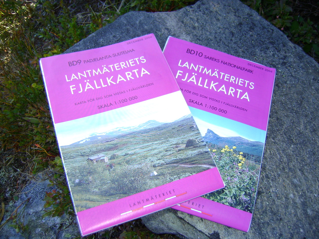
So what are the practicalities of a Sarek tour ('tur' in Swedish and Norwegian)? Firstly there's mapping. Lantmateriet's mountain maps ('Fjallkartor' (plural) in Swedish) are the 'ordnance survey' standard (my thoughts on them here) and BD9 and BD10 will cover you for the whole of Sarek, Padjelanta and through to the Norwegian border(have a look here for the mapping quality and idea as to routes). These are fairly easy to get in the UK via the excellent 'Mapshop'. Swedish mapping has been modernised somewhat by Calazo. The survey is the same but these maps are considerably lighter and tougher as these use tyvek. The bonus additionally is that both BD9 and BD10 are on a single map (it's double sided, coverage here) saving weight and cost. The price is good too at Kr150 (about £14.50). The bad news is that I haven't found them in the UK and have bought them only in Sweden. Arguably once the Lantmateriet maps are in a map case there's little difference but given the option I would go for a Calazo. These are on sale in most Swedish outdoor shops (eg Naturkompaniet in Stockholm) and could be picked up before the immediate start of a trip at STF Saltoluokta and STF Ritsem (both have a reasonable selection of outdoor gear, more below).
Picture
Getting to and from the start and finish of your route will take a little time but shouldn't be too complicated or indeed expensive. One of the many positives of Scandinavia is a functioning and inexpensive public transport system. What's more it's 'interconnected' so you can get places without waiting around too much. Add to that some keen pricing on airline tickets to Scandinavia (book early mind) you can do a Sarek trip for well under £400 (assuming you plan in advance, snap tickets up when they become available and bring most of your own food from the UK (making the most of your baggage allowance)).

Getting to Scandinavia is no hardship at all from the UK. I favour Norwegian (here), they've shaken things up in Scandinavia of late and you can get to Stockholm from £35 upwards. SAS and British Airways fly there too. If you come out via Norway (I think that makes sense if you are flying back to the UK), both Norwegian and SAS fly from Bodo to Oslo where you can connect back to the UK. Again book early, but that flight if booked early should be fairly reasonable (I've just checked and seven months in advance I've been quoted £130 Bodo-Gatwick). Alternatively, you can return via Sweden. Stockholm is the obvious way out, a train will get you there or you could connect via the northern airports of Lulea, Kiruna or Gallivare.

But once you are in Sweden what determines where you go and how do you get there? I consider two elements determine a Sarek trip; the amount of time that you are prepared to invest in it and your entry and exit points.

There are arguably five of these entry/exit points. Saltoluokta, Suorva and Ritsem are the first three. Lying to the north of Sarek these three points are served by the road to Gallivare, a consequence of the huge hydro-electric scheme at Storasjofallet (still controversial to this day but the infrastructure that serves hikers wouldn't be there without it). Suorva has the advantage of a 'dry' crossing of Akkajaurre whilst Ritsem demands a boat journey to Vaisa or Anonjalme to connect with Padjelantaleden and whatever way you might wish to enter Sarek (such as Kisuris, a favourite spot of mine). Saltoloukta means a boat journey across this same stretch of water from Kebnats (this should be your bus/car destination). 10 minutes in the STF boat (both water journeys from Ritsem or Kebnats are enjoyable, they'll set you back around Kr200 or £19 though) from Kebnats and you will head up the short trail to the STF lodge at Saltoloukta. Here, you've got the chance of a good lunch (the bus from Gallivare arrives approx 11 am, lunch 12pm) and use of the shop for any last minute needs or indeed fuel.

I am very fond of Saltoloukta myself (see why here), the food is good and having a shop at your trail head which sells a decent selection of gear (from clothes to stoves to food to maps to fuel) can help. Suorva has the advantage of getting across Akkajarre by yourself, nearby is a shop selling food (expensively). Ritsem, at the western end, is another large STF complex. It's functional at best but the shop isn't bad (getting fuel can be hit and miss, I passed through in August 2013 and they were out of meths - there's a second chance though at the STF huts at Vaisa or Ahkka) and there is some food available. Once you are on the boat you've a chance of some coffee at least. The Sami cafe at Anonjalme is certainly worth a visit!

Ritsem of course, as well as Kvikkjokk, offers the deluxe way to and from the borders of Sarek and the entry point of Staloloukta. 'Fiskflyg' (site here) run a shuttle service between Ritsem-Stalo-Kvikkjokk. A scheduled service ties in with the bus from Gallivare (see here for details in English). If you have the cash you can charter your own flight, there is though a fly ban over Sarek so you'll only get as far as the park border. Using a helicopter means you can get in and out to the Sami village of Staloloukta fairly quickly, covering a distance that took me around two days to walk in a mere 20 minutes.

Kvikkjokk is served too by the helicopter (here)
. This small village, lying to the south-east of Sarek, is an important junction in Sweden's trail network. Kvikkjokk sees the beginning of Padjelantleden and is the halfway point of the Kungsleden (6-10 days in either direction will put you in Abisko or Hemavan). It's served by a road which connects to Jokkmokk (a significant Sami town) and from there the rail network at Murjek. Importantly, there are some good services here including the STF lodge (not a bad one, home to the 'Mosquito Veranda' from where you can sip one of their single malts).

Getting to and from Ritsem/Suorva/Kebnats-Saltoloukta and Kvikkjokk is a combination of bus and train. By far the quickest way in is to
Ritsem/Suorva/Kebnats-Saltoloukta with a sleeper train combination and bus. This sees a journey from say Stockholm on the sleeper to Gallivare. The bus will meet you here and after a couple of hours you'll be pulling up at Kebnats. If you heading to Suorva or Ritsem just stay on the bus a little longer. Bus details are here, however, I would advise booking your bus ticket when you book your train ticket. This is easily done on the SJ website (here) by selecting your ticket to cover the journey from Stockholm to Ritsem for example. The advantage of that is that if there is a problem SJ (the Swedish state railway) are legally bound to convey you to your destination as you booked from their website. This is useful, particularly, if returning from say Ritsem in order to meet the train to Stockholm in Gallivare. If there is a problem with the bus (say weather or breakdown) and you miss the train, it's SJ's job to get you back to Stockholm.

Getting to and from Kvikkjokk takes much longer as you have to transit and wait in Jokkmokk for a connecting bus to and from Murjek. This once took me most of the day
to travel from Kvikkjokk to the station at Murjek. It did give me an opportunity to seriously damage a Chinese restaurant's 'all-u-can-eat' buffet in Jokkmokk. If you are 'time-poor' you may have to discount Kvikkjokk as the Gallivare route is more efficient.

Booking trains with SJ is easy online. The cheaper tickets tend to be released a couple of months before departure so play around with the site to work out when that might be. You've some options on the sleeper. I would ignore the seats and look at either the '6-berth' couchette or more agreeable (and expensive) '3-berth'. Prices should start at around Kr1000 or £95 including the bus. The big advantage is that the train's first stop out of Stockholm is Arlanda airport so you can skip the capital
if you are flying there (which won't be the case if you choose Ryanair but that's your choice!). Swedish trains are good. Gallivare is reached at about 8.30 am, a distinct advantage say compared to Abisko (for the Kungsleden) which sees you grind out more hours on the train.

I've mentioned Staloluokta as a connection point. If you are not using the helicopter then it's 'shank's pony'. Stalo' connects to Kvikkjokk and Ritsem of course via Padjelantaleden.
The route that I will suggest below sees another 2/3 day walk to Norway and the village of Sulitjelma. Here you can pick up an either the school bus or the 9 am bus and get to Bodo (and it's airport) via Fauske (where you can also connect with the Norwegian rail network). This way out rewards you with another element to your trip (I think the Nordkalotleden via Sarjasjaure is a great walk). The downside is that it's a long day's travel back to the UK, there's a wait in Bodo for the flight to Oslo (but Bodo is pleasant and you can admire iconic Lofoten).

I've always arrived in Sulitjelma the afternoon before. There's a good supermarket there so I have always had the chance to stock up (beer!) and pitch my tent in a small forest clearing just outside the village (perfectly legal in Norway). Two buses will get you to Fauske and then Bodo. Details here, you need to click on the PDF, page 147 shows details for
18-481 Bodø-Fauske-Sulitjelma (the bus passes through Sulitjelma, stand outside the supermarket on the main road - I favour the early 6.50 school bus). It's a good idea to have some Norwegian Kronor with you though I have paid in Swedish Kronor on the bus (its around Kr180, £17), you can get cash back at the supermarket. Perhaps confirm the bus in advance with the tourist office in Bodo who are very helpful.

Picture
Once you've an idea of your entry exit points then you can plan your route. There are guidebooks in Swedish and German but none in English. To be honest I think an experienced eye on the relevant maps is all you need. It's worth looking around on-line as there are increasing English language blogs describing routes and tours. I'll suggest primarily my 2009 route (see the PDF here) as it chooses Salto' as my entry point and I exited at Stalo' and then headed for Sulitjelma. I've also more recently walked into Sarek via Routasvagge which offered a much easier route into the center of the park than across from Stalo/Pietsaure. Such a route into the center (ie the cross roads of Mikkastugan) is described here. Both these trips took around 9 days, I could have moved a little faster on both but both routes were challenging in different ways.

(My 2009 tour by camp. Salto (start) - Pietsaure -
Guordesluoppal - Bierrikjavrre - Alggavagge -Mielladno - Arasluokta - Sarjoasjahka - Sarjasjarre (Norway) - Sulitjelma.)

Alternatively, this blog here gives an excellent account of a similar route (though with some key variation) from Sulitjelma to Suorva
. Certainly worth a look and a great function here in respect of the mapping and routes.

But there really are infinite options. Many routes are dictated by the large glacial troughs that separate Sarek's massifs and provide corridors into Sarek's heart (though of course if you're an alpinist then there's a dizzy array of route options outside of the valleys). To the west Sarvesvagge, Njoatsosvagge, Algavvage , Guophervagge and Ruohtesvagge. To the east following rivers westwards into the park, even with the possibility of a Sami boat at Sitojaure or Aktse. I've got my eye on the classic route up Rapadalen. This would mean a little time on the Kungsleden to get to Aktse and either chartering a Sami boat up the delta or the long hard hike though the bush before rising up into the center of the park itself. As my PDF mentions I was struck by Rapadalen when I walked the Kungsleden years ago. There is something about it and it's home to elks and bears. Additionally approaching Sarek from the south is another must do, a jaunt up the Kungsleden and then via Parek to the observatory at Parte. I've scratched around some of Sarek's valleys to the south on my 2012 summer trip and felt a real sense of remote wilderness.

I would suggest perhaps buying the maps when planning your trip and looking online. A good site, if a little old, is here.
There is very good information in English on all the points I have mentioned above but usefully pictures of many many Sarek tours. It's a question then of matching the map to the areas which categorise the pictures and getting an idea of conditions on the ground.
Picture
Sarek's demanding, no doubt. It's the weather that can really dictate though how your trip pans out and that's down to luck. If you are a fit and healthy walker used to the Highlands then you shouldn't face too many surprises (that said Sarek is not a place for the novice, things can and do go wrong - I've included a picture of a young man below who went missing in nearby Padjelanta, I wondered whether it's the right thing to do - as a parent I can well understand his parents' loss - the point is please exercise care in these big spaces (more details here in Swedish in a poignant post on Utsidan)). Make sure you are well drilled in wet weather camping and your gear is freshly proofed. Vegetation can be more demanding to cross (I'm thinking of dwarf willow) and water courses can demand more care. Mosquitoes are an issue in Scandinavia but my experience of Sarek is that it's too high and well ventilated for them to be an issue. By mid-August they should be gone.

You will need good enough gear and food to live comfortably for your trip. That said you can pick up supplies at huts either on Padjelantaleden or Kungsleden. There is nothing in Sarek unless you can turn your hand to fishing (not uncommon for Scandinavians).

There's some
enticing photography on the internet (a marked increase in English language sites over recent years). Worth visiting here and here (note no more packrafting in Sarek though, a ban has just come into force). For Swedish speakers 'Utsidan' is a good resource.

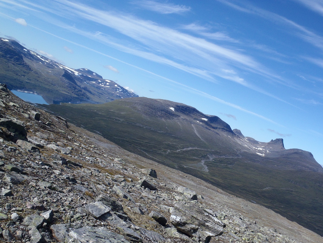
Finally, don't forget that Sarek is not the last word in Sweden's expansive mountain chain (picture below is from Arjeplog Fjallen, I was entranced by them as I passed through this summer, they lie around 5 days walk to the south of Sarek), however, you'll be arguing with passion after a Sarek tour as to Sarek's place in any shakedown of the world's best hiking.

God Tur!
Picture
RedYetiDave link
2/2/2014 06:35:41 pm

Wow - a fantastic overview Mark! Best I've ever seen!

We've been considering Sarek for quite some while but pressures of other projects have meant that the prep time necessary hasn't been available. We realised to our horror that last year was the first year since we met (twelve years ago) that we didn't spend one night in a tent. Whereas other years have seen us in one of our various tents regularly.

But, living here in Sweden, by a lake and the woods means we feel far less need to go and drive for hours to get away from the city and camp.

However - this year for sure we will be back under "canvass" and maybe next year the far north beckons once again...

Thanks for the excellent info. Even having spent some time up that way ourselves we've not amassed the experience of the different options which you've detailed here.

Mark
2/2/2014 07:01:49 pm

Thanks Dave. I've amassed the know how over the years so it's quite satisfying to get it all down. I am sure you'll get up there soon enough, it's a great walk. Sweden has great variety in her landscapes and I've always enjoyed that.

David link
4/2/2014 04:51:54 am

fantastic intro. I've been looking at a trip to Sarek this year, but have been put off by the news that all river travel has already been prohibited. They brought the ban forward.

It still looks pretty good though! Do you or anyone else know if Rago is still open for water travel?

Mark
4/2/2014 05:10:55 am

Hi David. Rago probably is, it's is Norway so totally different. What I had in mind (and there is a blog I read of someone (a Swede?) on the internet who did this) is a pack-rafting trip down the western shore of Virihaure. I don't pack-raft but I think it's a must do to travel around Virihaure and into Rago. Some of the watercourses look difficult to cross but with a pack-raft no problem. That would be a very interesting trip, very very quiet indeed.

Mark
4/2/2014 05:58:45 am

hhhmm ... Rago looks good, I've always admired it from a distance and have it on my list! I suggest perhaps emailing the tourist office in Bodo who could confirm about Rago's water. I don't see why it wouldn't be open. A trip down Virihaure (with perhaps a Sarek hike too) and then Rago would be interesting.

See

http://fourfeetandmore.blogspot.co.uk/2009/08/rago-national-park-norway.html

Mark
4/2/2014 05:24:01 am

I just checked. It's Jorgen Johansson himself who did it (and there's mention on Patagonian Dreams too). He would be an excellent person to contact with and ask about Virihaure or indeed pack-rafting in Sweden's mountain.

See http://www.fjaderlatt.se/2010/08/west-of-virihaure.html

James Boulter link
16/2/2014 03:50:51 am

Brilliant, thanks Mark. I have that bookmarked, saved as a pdf and will be copying the text into a word doc!

I ordered my maps today, so look forward to them arriving. I have found that it will be possible to get them for my Satmap device as well so can have GPS as back up.

The planning starts..........

Mark
16/2/2014 04:17:50 am

You are welcome. I am intrigued to see what you make of it!

Nick Clark
31/7/2014 12:08:13 am

Hi Mark, I stumbled over your blog during my search for Sarek info and I was wondering if you could help with some logistics advice.

I'm planning to do a walk in Sarek in late August. I have ten days available and it looks like my only practical way of getting up north is a flight from Stockholm to Kiruna (there's no train available for the up journey). Do you have any advice on getting from Kiruna to Sarek?

I think my best option is going to be a circuit out from Saltoluokta, but I can't find much info on public transport from Kiruna to the ferry at Kebnats...

I'm from Tasmania, which is a very, very long way away, so I'm pretty keen to make this work! Any advice would be great!

Mark
31/7/2014 12:42:40 am

Hi Nick,

Can u fly to Gallivare (see http://www.gellivarelapland.se/en/Travel/) as that's going to make life easier? Direct flights from Stockholm. Around 9 am there's a bus from the station in Gallivare to Kebnats Bridge, the ferry run by the STF (Svenksa Turist Foreningen) meets the boat and will take you over to Salto. From there you can put together a good tour, I would suggest you warm up on the Kungsleden for two days to Aktse and then head up the Rapa Valley (you'll work for that though!) and into the heart of Sarek. From there head via Bierikjavre towards Pietsaure and back to Salto. A good ten days walk into Sarek!

Nick Clark
1/8/2014 12:29:13 pm

Thanks for the travel link! I'd been trying to find flights into Gallivare but could only find stuff to Kiruna. That should make it heaps easier!

I'm pretty keen on heading up the Rapadalen - are there any precautions that should be taken with the bears/elk you mention?

Nick Clark
1/8/2014 12:48:49 pm

Thanks for the travel link! I'd been trying to find flights into Gallivare but could only find stuff to Kiruna. That should make it heaps easier!

I'm pretty keen on heading up the Rapadalen - are there any precautions that should be taken with the bears/elk you mention?

Thor
1/5/2017 10:49:01 am

Thanks for sharing this Nick. A pleasure to read and very inspiring! How many miles/km do you think the "Saltoluokta - Aktse - Rapa Valley - Bierikjavre - Pietsaure - Saltoluokta"-loop is? Thanks, Thor

Mark
20/9/2014 11:00:47 pm

Hi Nick - did u go to Sarek? I was in the wilds of Svalbard when u posted in August so didnt see your comment for some time.

Nick Clark link
12/11/2015 04:59:58 pm

Hi Mark, I realise this is a very late reply but just wanted to say thanks for the info!

I did end up making it to Sarek, and followed a similar itinerary to the one you proposed (Saltoluokta - Aktse - Rapa - Basstavágge - Sluggá - Pietsaure). The whole time I had a single morning of light rain and then nine days of perfect weather, with a huge aurora on the final night back at Salto! Also managed to spend a night up on the flanks of Skierffe, which is one of the most stunning campsites I've enjoyed.

I'd like to get back in the next few years and do a longer trip, possible across the border into Rago NP.

My gallery for the trip is here if you're interested. https://www.flickr.com/photos/nickthetasmaniac/sets/72157647245570265/with/15161270539/

Thanks again!

Mark
15/11/2015 02:28:54 am

Thanks for replying Nick, Im glad you enjoyed yourself. I certainly fancy exiting or walking through Rago one day. I'm tempted by a Norge Pa Langs (walking the length of Norway) and would certainly utilise that as a route.

I'll have a look at your photos. Mark

Mark Whale
29/1/2015 09:36:31 pm

Thank you so very much for this blog - it made for fantastic, enticing reading indeed! I very much appreciated the level of detail you put into the practical aspects of the to-and-from etc. I am planning to spend 2 weeks going through Sarek in August this year and this will prove invaluable for logistics.

One of my aims will be to ascend some of the more remote peaks within the centre of the park: Sarektjåkkå and Piellorieppe look very intriguing. I do not see much information from anyone regarding actually ascending mountains in the region, except to say that it is not commonly done due to the remote nature of the region. Have you been up to these peaks, or others, during your jaunts?

Mark
30/1/2015 05:38:16 pm

Hi Mark,

peak bagging is certainly done in Sarek. A common Swedish hike might see people walk into the middle of Sarek, pitch up for a couple of days and take a day to reach a summit. There's some very walkable summits. Piellorieppe is commonly done for example. Sarektjakka too though you might want to think about some light spikes or a light ice axe for safety.

There's more information in Swedish (unsurprisingly) than English. If you add 'topptur', to whatever peak you are minded to climb, as a search term then this should bring up links to various accounts or plans of such tours (eg through the website 'Utsidan').

Ahhka, though technically just outside of Sarek, is a classic peak to bag and you'll look right into the center. Commonly people spend a night somewhere on the mountain as it's a two day trip. You want to get your weather right of course.

Two weeks is a decent time in which to go through Sarek, you'll get a real sense of the place as it's fairly compact. However, as you plan to do, there's lots of high places that merit exploration and show another side. In my trips I've hiked up to look at some of Sarek's glaciers.

Have a good trip, perhaps you'll comment again here post summer and let me know how it went?

Mark Whale
1/2/2015 08:03:04 pm

The Expedition Style peak bagging is one way I was thinking of going about it, allowing to cut down on transported gear and being more efficient with time - then we just need to determine the optimum base camp site. Another way, dependent on fitness and conditions (conditions being the least predictable/controllable) I was thinking also of rolling from one peak to the next, while pitching camp along the way - more stressful perhaps. Interested in Sarektjåkka for sure, as well as Ahhka - but will concentrate efforts in the park to start with. I have plenty of Alpine experience, so hopefully this should not prove too technical in comparison. I would particularly try to get onto some glaciers! I will have crampons and a walking axe for that case.

One timesaver we were looking at was to helicopter in to the edge of the Rapadalen - can you comment on the efficacy of this? Have you done this yourself?

Thanks for your response and comments - I will indeed be getting back to you with a small report :-)

Mark
2/2/2015 11:36:32 pm

Hi Mark,

sounds an interesting plan.There's a no fly zone over Sarek so a helicopter will only get you as far as the park boundary. You'll be carrying your own kit after that. If you came in from the west (easiest is Ruohatsvagge, pretty walkable) you would need to trek for a day from any potential drop off.It shouldnt be too hard though.

There is the occasional report of people having stuff nicked from a base camp set up, sad to say. Sarek is relatively busy in August but the higher you go the quieter it is.

Suz
30/5/2015 11:21:10 pm

Awesome trip there :) I'm wondering about heading thru Sarek from Aktse to Staloluokta. I was wondering if you can walk thru the Rapadalen valley (or along a ridge line above it). Or if not, what is a good way through the park? I have never walked off trail before - is Sarek a stupid place to try it? I have also never walked in the Arctic before. How scrubby is it? Easy walking or tough. Am I being an idiot for considering this? I can see I can walk around to Kvikkjokk around the bottom section of the padjelanta trail if going thru sarek is ill advised. I'll be walking solo (in late august). I am worried about challenging myself insufficiently, or too much.

mark
11/6/2015 08:02:59 am

You can do the route you are suggesting through Sarek. I don't know though as to how fit you are, how good your navigation is or how good you are at dealing with persistent bad weather so can't say how well you would do. Using padjelantaleden would be a great intro to the region so why rush sarek?

Suz
11/6/2015 08:20:30 am

Thanks mark. Well the reason to go to Sarek straight off is that I'm Australian and will probably never be back in the area. Persistent bad weather does suck and affect the mood but I imagine if encounter that in both Sarek and Padjantalanta - is there a differing microclimate? Haven't ever navigated off a map before but I just can't imagine it being that hard ...maybe that's naive. It's river crossings that actually worry me most. Anyhow, I'll see. Thanks for replying

Mark
11/6/2015 10:29:42 pm

Re navigation you could well be ok if you've got fair map reading skills. That said when you leave Sarek itself and head to Stalo the glacial valleys which make navigation easy in Sarek give way to a much more open landscape which can be more challenging in bad weather.

As there's no shelters (in contrast to the huts on Padjelantaleden) in Sarek you'll be relying on your tent. If its wet all the time (and it can be) just make sure you are happy to live like that for a week or so. It's not difficult but it takes a little practice, just work at keeping certain things dry (sleeping bag and tent clothes, always keep them in dry bags).

You might have unbroken golden weather. That said Sarek channels some of the weather off the Atlantic and you generally expect one bad day in 3. Just be ready for it and you'll be fine.

The walking itself is generally ok. These are old mountains so there's plenty of grass coverage and you can move along easily.

Radek link
20/12/2015 02:59:39 am

Hi Englishman,

I stumbled upon this page via google and would like to say it is an excellent resource for planning Sarek trip. I have only just started planning (and bought the map recommended by you), but will definately revisit to dig into the details.

See you on the trail & best regards from Poland
Radek

Mark
20/12/2015 03:13:16 pm

Thank you & enjoy Sarek

Søren
28/11/2016 06:08:11 am

Hello Mark

Thank you so much for sharing!
Next year in July I am going on a hike through Sarek from Kvikkjokk to Ritsem (13 days expected).

I would truly appreciate if you could give some insights on ex: how many calories I should bring (I am planning on eating 3400 calories per day with a weight of 850grams per day). What is your experience in this field? Btw I am 43years old, 172cm tall and weighing around 69kilos.

My rucksack will be weighing around 22kilos in the beginning of the trip. How much did you carry?

Thank you.

Best regards
Søren,
Copenhagen, Denmark

Mark
20/1/2017 07:12:17 am

Hi Soren,

sorry for the delayed response.

3400 calories sounds just about right. I guess its fairly individual and you sound quite lean at 69 kilos. I think around the 4000 mark is about right but as long as you don't feel hungry you should be fine as its a fairly short trip and you can always start to eat properly when you get to Ritsem. Maybe 'overeat' before you leave home so you've a bit of fat to burn off!

22kg sounds a sensible weight as well. It will obviously get lighter but you shouldn't have any problems with that.

Have a good time!

Søren Møller
20/1/2017 07:51:26 am

Thank you so much for getting back to me. I will be lookingforward to the trip. Cheers!

john forsyth link
29/3/2019 07:20:52 pm

hey, what is your email address? I would like to send extensive email outlining my travel plans and would like your opinion?
I am 26 year old male from adelaide australia.
look forward to hearing from you.

please look at my recent blog to alaska !

cheers

john forsyth

:)


Comments are closed.

    Archives

    July 2017
    June 2017
    April 2017
    March 2017
    December 2016
    November 2016
    October 2016
    August 2016
    July 2016
    June 2016
    April 2016
    December 2015
    November 2015
    August 2015
    July 2015
    June 2015
    March 2015
    January 2015
    December 2014
    November 2014
    October 2014
    September 2014
    August 2014
    July 2014
    June 2014
    May 2014
    April 2014
    March 2014
    February 2014
    January 2014
    December 2013
    November 2013
    October 2013
    September 2013
    August 2013
    July 2013
    June 2013
    May 2013
    April 2013
    March 2013
    February 2013
    January 2013
    December 2012
    November 2012
    October 2012

Proudly powered by Weebly
  • My Blog
    • About Me